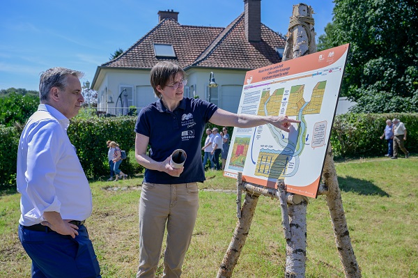
 Claude Meisch, Luxembourg's Minister of Housing and Spatial Planning (left);
Credit: MENJE
Claude Meisch, Luxembourg's Minister of Housing and Spatial Planning (left);
Credit: MENJE
The Mëllerdall UNESCO Global Geopark inaugurated the Beaufort Geo-Pad ("geo path") last Tuesday (9 July 2024) in the presence of Luxembourg's Minister of Housing and Spatial Planning, Claude Meisch.
After the inauguration of the Geo-Pad Hëlt in the municipality of Rosport-Mompach in 2022, the region is continuing its commitment to geological education and the protection of the region's natural heritage.
These so-called geo paths are specially designed hiking trails that lead to interesting geological sites, called geosites. Visitors can learn about the history of the Earth and the link between geology and the natural and cultural heritage of the region. The new Geo-Pad "Haupeschbaach an Halerbaach" allows visitors to discover the geosite of the same name in the municipality of Beaufort. This geosite represents the narrow valleys characteristic of the Luxembourg Sandstone. It is not only a geosite of the UNESCO Global Geopark, but also a national monument and part of the European network of Natura 2000 protected areas.
The trail stretches for 5 km and begins at Härewiss car park in Beaufort. It offers a journey around the theme of water. Visitors can find out how water played a role in the formation of the Luxembourg Sandstone 200 million years ago, what processes can be observed today in the stream and what animals and plants live in and around the water. In addition, they can learn where the water in the stream comes from and how humans use it, including its power.
The Geo-Pad consists of fourteen partly interactive stations. The path is marked by a fossil oyster ("griffe du diable" or "devil's claw"), which reminds visitors that the rocks in the region were formed in a sea long ago.
The project was carried out through the collaboration of several partners, including the Natur- & UNESCO Global Geopark Mëllerdall team, the municipality of Beaufort, the Mullerthal Region Regional Tourist Office and the responsible forest ranger.
Another Geo-Pad is being planned in the municipality of Berdorf, which will be completed in 2025, in order to further expand the geological trail offering.
The Mëllerdall UNESCO Global Geopark also suggested visitors combine a hike on the new Geo-Pad with a visit to the Geo-Expo in Beaufort. The theme of this interactive exhibition is the formation of the Natur- & Geopark Mëllerdall region. At the centre of the exhibition, one can also admire stones from all over the world. The exhibition is open daily from 10:00 to 17:00 and is located in the immediate vicinity of the Härewiss car park, the starting point for the Geo-Pad Beaufort. Free entry.
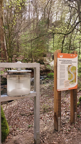
(Photo credit: Conny Koob)


