 Credit: Pixabay
Late on Wednesday afternoon (around 16:30), Luxembourg's weather portal MeteoLux announced that the flood warning in place in the Grand Duchy had been upgraded to red.
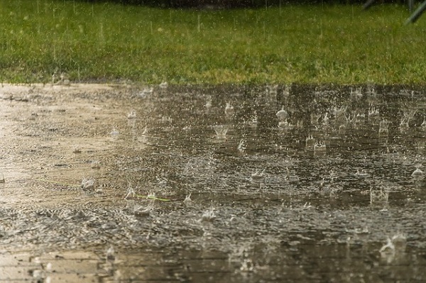
This severe weather alert, issued by Luxembourg's Water Management Authority (AGE), is in place across the country from 16:00 on Wednesday 9 October until 23:59 on Thursday 11 October 2024. During this time, significant overflows are possible, even in areas that rarely flood. The authorities added that the potential flooding posed a threat to the safety of people and property.
At the same time, an orange alert remains in place for heavy rain between 06:00 on Wednesday and 05:59 on Thursday. During this period, continuous rain is expected with probable rainfall totals between 40 and 60 l/m² (up to 70 l/m² in some places). Most of the precipitation will fall from midday on Wednesday and during the night leading into Thursday.
The flood warning service said it was in "alert status" due to the risk of "major" floods - affecting all water courses except the Moselle, where the flood warning service is "on standby" (as of 16:35). Updates are expected to be provided "at least twice daily" or as the situation evolves on www.inondations.lu.
Update: Shortly after 17:00, MeteoLux and the AGE, together with the High Commission for National Protection (HCPN) and the Grand Ducal Fire and Rescue Corps (CGDIS), reported that the severe weather risk assessment unit (CERI) met again on Wednesday afternoon and raised the alert level to red. They specified that the heavy rainfall will cause water levels in the country's rivers to rise, with peaks expected between 06:00 and 12:00 on Thursday morning.
Due to the expected rainfall, particularly in the north-west of the country, it is "highly likely" that the alert level will be reached or exceeded at the Attert and Eisch gauging stations. This will also lead to high water levels at the Mersch and Ettelbruck/Alzette gauging stations, where it is also likely that the alert level will be exceeded. At the time of writing, the Sûre was expected to exceed the alert level at Diekirch and Bollendorf-Pont early on Thursday morning. At the stations in Hesperange, Pfaffenthal and Steinsel, the levels of the Alzette are expected to rise to the early warning level without reaching the alert level.
The authorities have advised the public to keep an eye on flood warnings and water levels at www.inondations.lu and on weather warnings at www.meteolux.lu (and/or on the radio or television), as well as to avoid all travel in the regions concerned and to respect the roads that have been closed and the diversions that have been put in place.
CERI continues to monitor the situation, noted the authorities.


