 Credit: Géoportail.lu
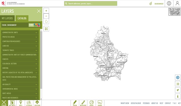
Luxembourg's Environment Agency has published a package of sixteen new georeferenced layers of environmental data accessible on emwelt.geoportail.lu, with a focus on new data related to environmental noise and air quality.
The first georeferenced layer illustrates the biomonitoring network by which various organic and metallic pollutants in urban areas near electric arc steelworks are measured. The fallout is measured using living organisms such as mosses, green cabbages or grasses. Subjected to too much pollution, these organisms react or are even likely to disappear and therefore can serve as an indicator of air quality.
The second layer relates to a large campaign to measure nitrogen dioxide (NO2) which was carried out in collaboration with 29 municipalities and myenergy in 2019 as part of the national air quality programme and the “Klimapakt Loftqualitéit” (air quality climate pact). The campaign aims to make municipalities and their inhabitants aware of air quality, motivate municipalities to contribute to improving their air quality and demonstrate the efforts undertaken by municipalities.
A third layer illustrates the location and characteristics of all medium combustion installations registered with the Environmental Agencz. Medium combustion installation means any technical device with a nominal thermal power equal to or greater than 1 MW and less than 50 MW in which fuel products are oxidised with a view to using the heat produced, such as combustion installations, engines and gas turbines.
In total, the Environment Agency published three noise maps dealing with priority areas for the management of noise caused by road and rail axes outside and inside the agglomeration of Luxembourg. For each zone, a map was produced, reflecting the limit values of the noise action plan. An additional map shows the results of a measurement campaign on sixteen priority road noise management zones defined, carried out in 2019.
Finally, ten immission points were chosen in 2020 to measure the sound pressure at a measurement point representative of each potential calm zone or oase, with the aim of characterising this type of zone in more detail and determining the impact by road traffic noises or others.
The soil protection and management of polluted sites georeferenced layer contains the localities and areas, as well as other data, of old large landfills, which are no longer in use and which have been redeveloped.
Ina ddition, six new maps show the locations of anaerobic digestion facilities, inert waste landfills, container parks, buildings subject to an operating or registration permit for the storage or warehouse of waste, as well as landfill for non-hazardous waste intended for the elimination of household, bulky and similar waste.
The classified establishments group of data presents about 60 establishments in Luxembourg, which consider a high level of environmental protection, in accordance with appendix I of the amended law of 9 May 2014 on industrial emissions. The installations concerned include large combustion installations, waste incineration installations or installations and activities using organic solvents, among others.


