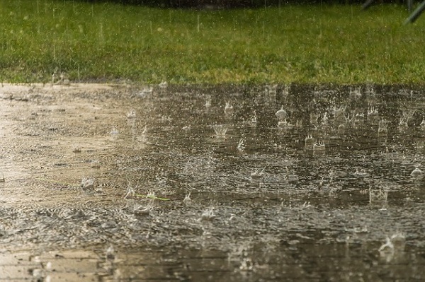
Luxembourg's weather portal, MeteoLux, has forecast rain, wind and potential flooding for Tuesday 2 January and Wednesday 3 January 2024.
A yellow warning ("potential danger") for stormy weather will be in place across the Grand Duchy with heavy rain of around 20 l/m2 of additional rainfall expected from 07:00 to 20:00 on Tuesday alongside wind gusts of 65-75 km/h from 16:00 to 04:00 on Wednesday.
The orange weather warning (“danger”) for flooding is in place for the whole country from Tuesday 07:00 until midnight on Wednesday. MeteoLux specified that minor flooding may cause damage and called for particular vigilance in the case of seasonal and/or exposed activities.
Furthermore, the Luxembourg government’s Water Management Administration announced that flooding is expected throughout Luxembourg in the next few days, especially in the Alzette catchment area.
The actors responsible for this, according to the government's emergency plan, the Water Management Administration (AGE), the Luxembourg's High Commission for National Protection (Haut-Commissariat à la protection nationale - HCPN), the Grand Ducal Fire and Rescue Corps (Corps grand-ducal d'incendie et de secours - CGDIS) and Meteolux will be monitoring the ongoing situation and have initiated initial preparatory measures.
The heavy rainfall forecast for the following Tuesday night are expected to cause water levels to rise relatively quickly across all bodies of water in the country. On the Alzette and its tributaries, the water levels will exceed the "cote de préalerte" (early warning rate) early on Tuesday evening and continue to rise; exceeding the "cote d'alerte" (warning rate) on Wednesday night; some water levels rising along the Alzette cannot be ruled out at this point in time. In the upper reaches up to Mersch, a flood is currently expected to return every ten to 20 years, and from Mersch to the estuary of the Sauer, it will occur every five to ten years. For orientation purposes, the publicly accessible flood maps on www.geoportail.lu show, among other things, the flood hazard zones.
On the Sauer from Diekirch and Bollendorf, it is likely that the "cote de préalerte" will be exceeded late on Tuesday evening or Wednesday night; an exceedance of the "cote d'alerte" in Diekirch cannot yet be completely ruled out. Flooding on the Sûre is currently expected to occur every two to five years.
A flood event comparable to that in July 2021 is very unlikely, but the necessary precautionary measures still should be taken, the authorities stressed. All residents on the main bodies of water, but also the tributaries and estuaries should take the necessary steps to take precautions on Tuesday, especially in the places that are usually affected by flooding (including parking lots and campsites).
Further information is available at www.inondations.lu.
Update: On Tuesday 2 January from 14:00 to 00:00 on 4 January 2024, a code red warning was issued for flooding in the south of Luxembourg. Minor floods are expected from 14:00 on Tuesday to midnight on Thursday in the north of Luxembourg.
The yellow warning ("potential danger") for stormy weather will remain in place across the Grand Duchy with heavy rain of around 15-25 l/m2 of additional rainfall expected from 14:00 to 21:00 on Tuesday alongside wind gusts of 65-75 km/h from 16:00 to 04:00 on Wednesday.


